%20--%3e%3csvg%20version='1.1'%20id='Layer_1'%20xmlns='http://www.w3.org/2000/svg'%20xmlns:xlink='http://www.w3.org/1999/xlink'%20x='0px'%20y='0px'%20viewBox='317%20258%20239%2089'%20preserveAspectRatio='xMinYMid%20meet'%20xml:space='preserve'%3e%3cstyle%20type='text/css'%3e%20.st0{fill:%23C9924A;}%20%3c/style%3e%3cpath%20class='st0'%20d='M430,343.4v2.2h-11.9v-25.9h4.3v23.7H430z'/%3e%3cpath%20class='st0'%20d='M449.5,332.9l-7.1,0l-4.1,12.7h-2.5l8.4-25.9h9.1l8.4,25.9h-8.1L449.5,332.9z%20M448.8,330.8l-2.9-9.2l-2.9,9.1%20L448.8,330.8z'/%3e%3cpath%20class='st0'%20d='M482.7,319.6v2.2h-6.8v23.7h-4.3v-23.7h-6.9v-2.2H482.7z'/%3e%3cpath%20class='st0'%20d='M507.4,337c0,2.2-0.5,3.9-1.4,5.3c-0.9,1.4-2.1,2.3-3.5,2.9c-1.4,0.6-2.9,0.9-4.4,0.9c-2.8,0-5.1-0.7-7-2.1%20c-1.8-1.4-2.8-3.7-2.8-7v-17.3h4.3V337c0,2.4,0.5,4.2,1.5,5.3c1,1.1,2.4,1.7,4.2,1.7c1.8,0,3.3-0.6,4.6-1.7c1.3-1.1,1.9-2.9,1.9-5.3%20v-17.3h2.5V337z'/%3e%3cpath%20class='st0'%20d='M554.9,343.4v2.2h-13.7v-25.9h12.9v2.2h-8.6v8.9h9.1v2.2h-9.1v10.5H554.9z'/%3e%3cpath%20class='st0'%20d='M530.5,332.9c0.5-0.4,0.9-0.8,1.2-1.3c0.7-1.2,1.1-2.6,1.1-4.2c0-2.1-0.6-4-1.9-5.5c-1.2-1.5-3.4-2.3-6.5-2.3%20h-8.7v25.9h4.3v-12.6h0v-11.6h3.9c1.5,0,2.6,0.6,3.4,1.8c0.7,1.2,1.1,2.6,1.1,4.4c0,1.5-0.4,2.9-1.1,4c-0.6,0.9-1.5,1.4-2.6,1.6h0%20l0,0c0,0,0,0,0,0h0l5.1,12.7h2.2l-5.1-12.7H530.5z'/%3e%3cpath%20class='st0'%20d='M398.4,332.9L398.4,332.9l0-11.6h3.9c1.5,0,2.6,0.6,3.4,1.8c0.7,1.2,1.1,2.6,1.1,4.4c0,1.5-0.4,2.9-1.1,4%20c-0.6,0.9-1.5,1.4-2.6,1.6l0,0.2l5.7,0c0.5-0.4,0.9-1,1.2-1.5c0.7-1.2,1.1-2.6,1.1-4.2c0-2.1-0.6-4-1.9-5.5%20c-1.2-1.5-3.4-2.3-6.5-2.3h-8.7v25.9h4.3V332.9z'/%3e%3cpolygon%20class='st0'%20points='391.3,260.1%20390.3,259%20361.2,288.1%20361.2,265.1%20359.7,265.1%20359.7,288.1%20330.6,259%20329.5,260.1%20357.6,288.2%20317.5,288.2%20317.5,291.7%20356.2,291.7%20334.1,313.7%20336.6,316.2%20359.7,293.1%20359.7,332.9%20361.2,332.9%20361.2,291.7%20380,310.5%20381,309.5%20363.2,291.7%20381.8,291.7%20381.8,288.2%20363.2,288.2%20'/%3e%3c/svg%3e)
%20--%3e%3csvg%20version='1.1'%20id='Layer_1'%20xmlns='http://www.w3.org/2000/svg'%20xmlns:xlink='http://www.w3.org/1999/xlink'%20x='0px'%20y='0px'%20viewBox='0%200%20841.9%20595.3'%20style='enable-background:new%200%200%20841.9%20595.3;'%20xml:space='preserve'%3e%3cstyle%20type='text/css'%3e%20.st0{fill:%23C9924A;}%20%3c/style%3e%3cpolygon%20class='st0'%20points='566.9,145.8%20562.9,141.7%20451.2,253.4%20451.2,165.1%20445.4,165.1%20445.4,253.4%20333.8,141.7%20329.7,145.8%20437.5,253.6%20283.5,253.6%20283.5,267.1%20432.1,267.1%20347.4,351.7%20356.9,361.2%20445.4,272.7%20445.4,425.2%20451.2,425.2%20451.2,267.3%20523.4,339.5%20527.5,335.4%20459.1,267.1%20530.5,267.1%20530.5,253.6%20459.1,253.6%20'/%3e%3c/svg%3e)
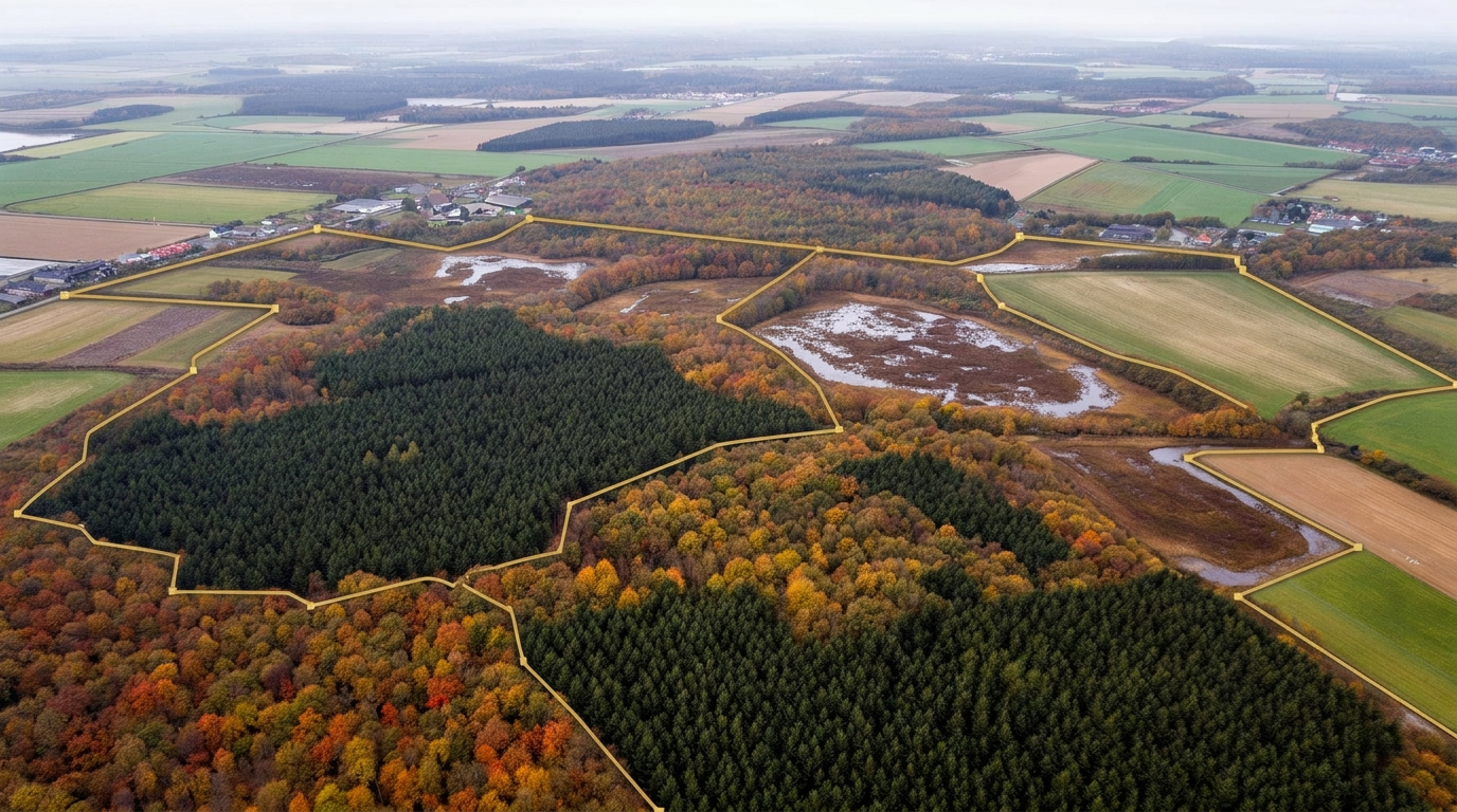
Plature Data Platform
Biodiversity monitoring at national scale — in realtime.
Plature Data Platform delivers structured biodiversity data and fauna time series to biologists, researchers, universities, municipalities, agencies, NGOs and consulting engineers. Built on one of Denmark's largest continuous trail-camera networks.
Data flow
From an image in the forest
to a data point in the report.
- 01
Raw imagery
Distributed trail cameras continuously deliver imagery from the field.
- 02
AI species identification
The AI pipeline classifies species automatically, with continuous quality assurance.
- 03
Structured observations
Timestamp and GPS turn every observation into a searchable, comparable data point.
- 04
Aggregation per area
Fauna time series per municipality, project area or grid — ready for analysis.
- 05
Export via API
Standardised access to biodiversity data for research, management and reporting.
Core capabilities
The platform
- AI-based species recognition
- Continuous data collection
- Scalable access via API / export
- Area-based aggregation and analysis
- Standardised observation formats
- Audit trail and source reference per data point
- GBIF- and Darwin Core-compatible data export
API
REST endpoint — example
GET /v1/observations
  ?area=DK-0751
  &species=cervus_elaphus
  &from=2025-01-01
  &to=2025-12-31

→ 200 OK
{
  "count": 1284,
  "interval": "month",
  "series": [
    { "t": "2025-01", "n": 92  },
    { "t": "2025-02", "n": 118 },
    ...
  ]
}
Access by arrangement. Contact us for an API key and documentation.
Collaboration